
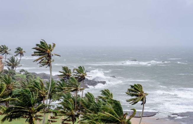
Kolkata, Sept 22: A weather system over the Bay of Bengal has intensified into a depression and is expected to strengthen further as it moves towards the north Andhra Pradesh-south Odisha coast, according to the India Meteorological Department (IMD).
The system, which developed from a well-marked low-pressure area, was located over the west-central and adjoining northwest Bay of Bengal at 5.30 pm on Monday. It is likely to move west-northwestwards and intensify into a deep depression during the next 24 hours.
The IMD has forecast that the system could cross the north Andhra Pradesh-south Odisha coast between Visakhapatnam and Gopalpur during the night of September 23 and the early hours of September 24.
Rain likely to increase in Bengal
Although the system is now expected to move towards the Odisha-Andhra coastline rather than directly towards Bengal, its influence is likely to be felt across parts of West Bengal.
Rainfall is expected to increase across south Bengal from Tuesday, with heavy rain possible in several districts, including South and North 24-Parganas, East and West Midnapore, Jhargram, Bankura, Purulia, West Burdwan, Birbhum and Howrah.
Parts of north Bengal could also experience heavy rain from Thursday as the weakened system moves further inland towards Uttar Pradesh and Bihar.
For residents, the change in weather could mean periods of heavy rain, waterlogging in vulnerable areas and disruption to normal travel in some locations.
Fishermen advised to stay away from deep sea
With the depression strengthening over the Bay, sea conditions are expected to remain rough.
The IMD has advised fishermen not to venture into the deep sea from Tuesday until September 25 as a precautionary measure.
Coastal communities and those involved in marine activities are likely to remain particularly watchful as the system approaches the coast.
System not expected to become a cyclone at this stage
The weather office had earlier indicated that it was too early to determine whether the system would intensify into a cyclone.
While conditions over the Bay of Bengal can support the development of stronger weather systems during the October-December period, not every depression develops into a cyclone. Some systems weaken before reaching that stage.
The latest forecast currently points towards the system making landfall as a deep depression, rather than confirming cyclone formation.
What lies ahead
The system’s movement will continue to be closely monitored as its strength and track become clearer.
For West Bengal, the immediate focus remains on the expected increase in rainfall, particularly across south Bengal. For Odisha and Andhra Pradesh, coastal districts will need to remain alert as the system approaches the shoreline.
Residents are advised to follow updates and warnings issued by the IMD and local authorities, particularly in areas vulnerable to heavy rain, waterlogging and strong weather conditions.
The coming days will therefore be marked by heightened weather activity along the eastern coast, with the Bay of Bengal system expected to bring significant rainfall to several parts of eastern India as it moves inland.